Isle of Wight Nostalgia - Undercliff - Bonchurch Landslip

A section of the geological map for the landslip

This map shows the landslip between Luccombe Chine to the north and Bonchurch & Ventnor to the south. There were plans to build the railway from Shanklin to Ventnor via this route, avoiding the costly tunnel between Wroxall & Ventnor, and the resulting station at Ventnor, high in the clouds and a brisk walk from the town centre. However, the railway company was wise to resist the temptation as the area is subject to continual minor landslips and occasional major one!

cross section of geological strata

The cross-section of geological strata shows the mechanism. The land rests on a sloping layer of Gault - a type of clay, blue/black in colour, known locally as 'blue slipper'. Following a wet winter, the Gault absorbs water and acts as a lubricant between the rocks above and below - they start to literally slide downwards forming a series of landslides.


Photo of Landslip, Bonchurch

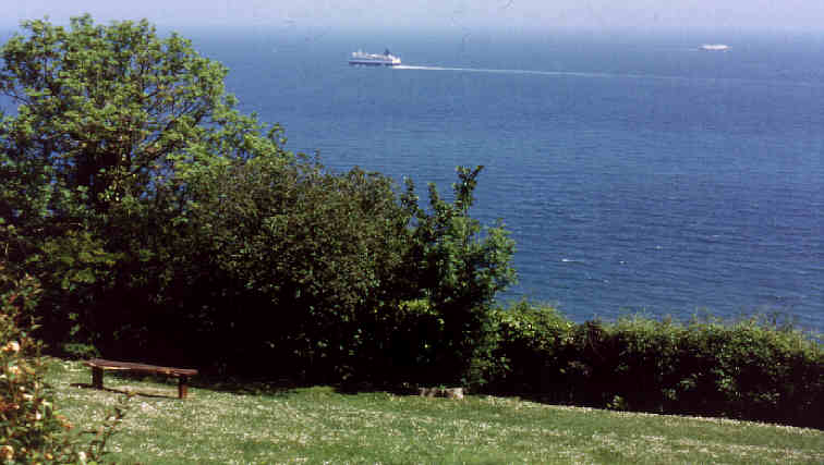
The gradient ensures a great view wherever you are.


Photo of Landslip, Bonchurch

The walk along the ridge is dramatic with great views over the English Channel.


Photo of Landslip, Bonchurch

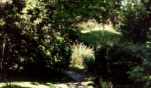
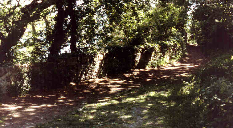
Lush vegetation is everywhere as the upper cliff protects the area from the cold winds and frosts from the north and east..


Previous page of Undercliff photos Next page of Undercliff photos Nostalgia site home page Nostalgia site contents page Isle of Wight book reviews To top of this page
Home | Introduction | Contents | Photos | Maps | Links | Quiz | History | Famous Islanders | Geography | Geology | Email
Books | Site Visitors | 1948 Guide | News | Phonebook | FAQ | Memories | Tunnel | What's on | Author | My other sites
Search the Amazon Books database
Invectis websites
Enter keywords and click 'search' to access database